A network of sites, not a single sensor
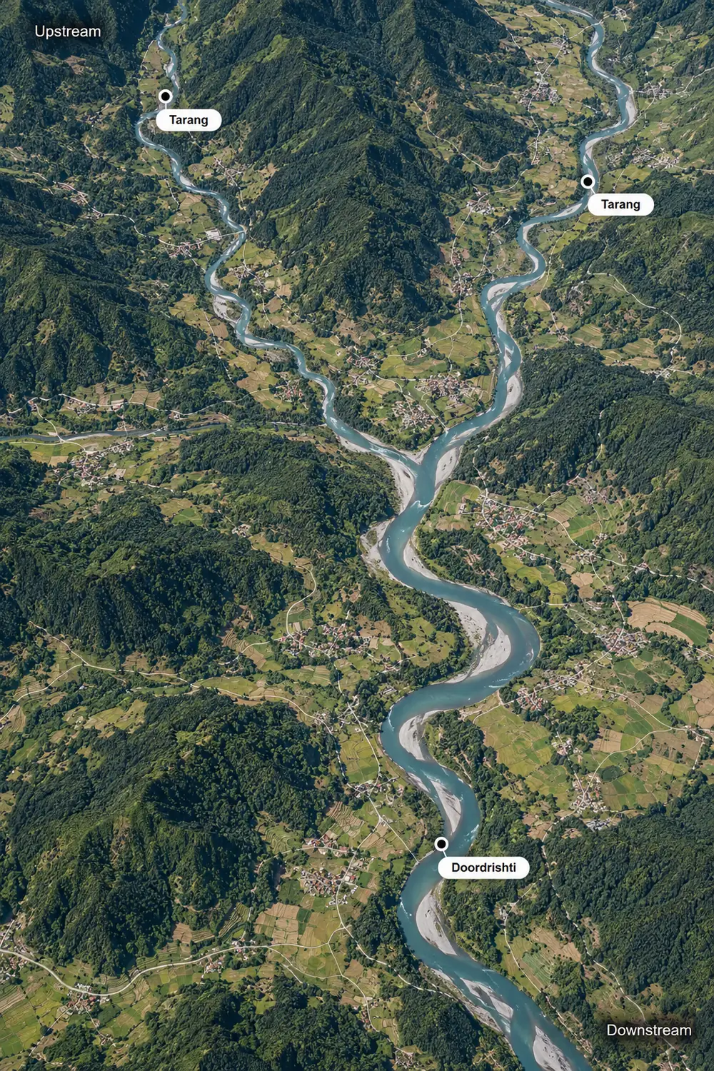
Each device sits where it sees the most useful thing. This is an illustrative layout; every deployment is designed around the real site.
- 1Upper reachPravaah
Measures level and surface velocity on the main river, above the confluence.
Why here: The standard unit for a basin: level and velocity together describe the flow.
- 2ConfluenceDoordrishti
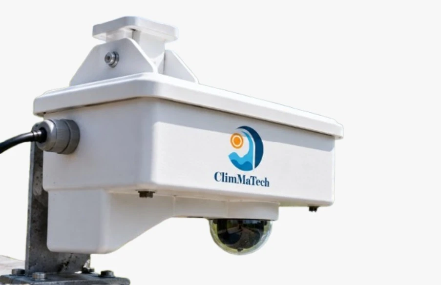
Adds a camera view and on-device event detection where two rivers meet.
Why here: A junction is where behaviour changes. The camera confirms what the radar reads, and sudden changes are caught on site.
- 3Lower reachPravaah
Measures level and velocity downstream, after the rivers join.
Why here: Comparing the upper and lower readings shows how water moves through the basin.
- 4Northern tributaryTarang
Measures water level on a smaller channel.
Why here: A lower-cost level point where velocity is not needed, so many channels can be covered.
- 5Western tributaryTarang
Measures water level on a second feeder channel.
Why here: Shows how much each tributary adds to the main river.
From observation to action
Observe
Stations on the main river and its tributaries report level and velocity continuously.
Decide
Comparing upstream and downstream readings, and the tributaries against the main river, shows how the basin responds to rain and to the seasons.
Act
Water resource teams get one long-term record for planning and reports, and the same network can raise flood warnings.
Each part covers what the others cannot
Velocity where it matters, level everywhere
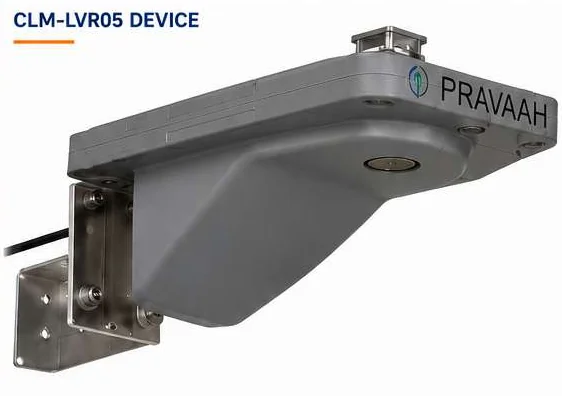
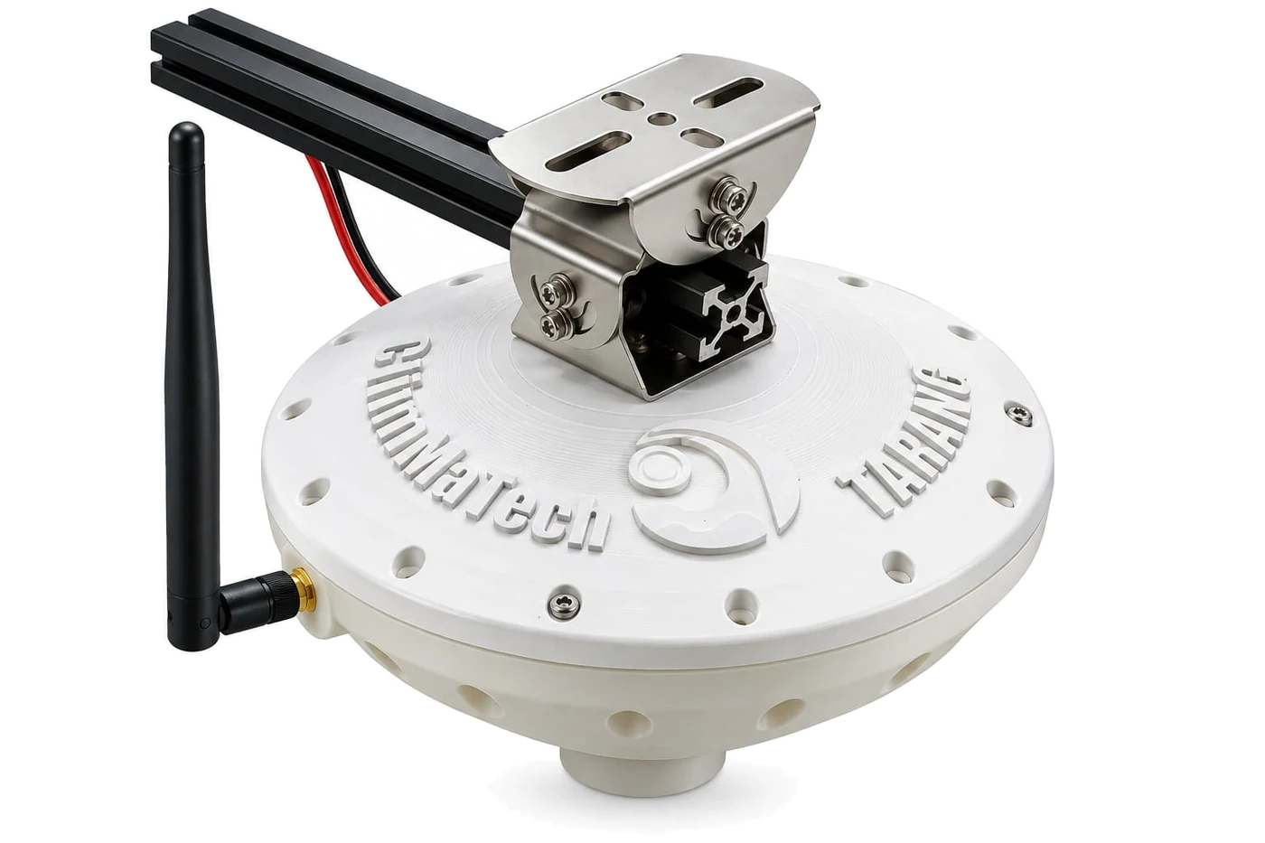
Pravaah on the main river measures both. Tarang adds low-cost level points on the smaller channels.
A camera at the key junctions
Doordrishti confirms what the radar reads at critical points and detects events on its own.
One record for the whole basin
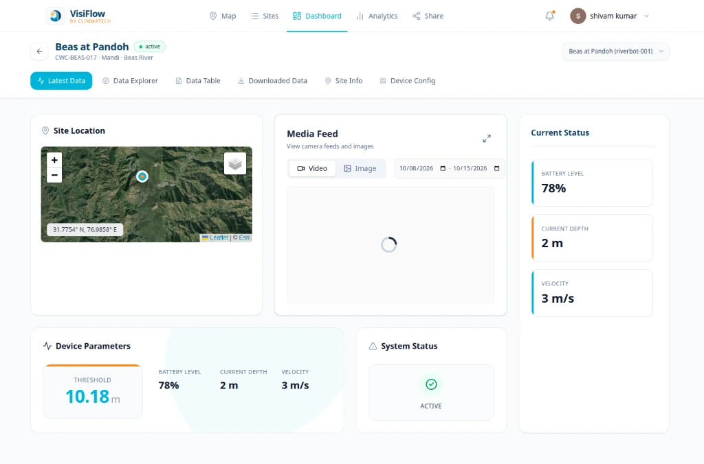
DeviceCloud brings every station into a single history for analysis and reports.
Without a continuous record, a basin stays a guess
Where rivers are measured only occasionally, water allocation, drought planning and monsoon preparation rest on estimates. Models are only as good as the data behind them, and gaps in the record are hard to fill after the fact.
A continuous record of the whole basin
Stations along the main river and its tributaries measure water level and surface velocity continuously, without touching the water. Readings from every station feed one long-term record, so authorities can see how the basin behaves through the seasons and plan with data.
Explore the platformBuilt from these components
Establish a catchment-wide network with Pravaah units along the main river, for example at 10 km intervals, Tarang on the smaller channels, and DeviceCloud as the central record.
A path you can follow step by step
Instrument the main river
Place Pravaah units along the main channel, for example at 10 km intervals.
Cover the tributaries
Add Tarang level sensors on the channels that feed the river.
Verify at critical sites
Add Doordrishti at junctions and sites where visual confirmation matters.
Frequently asked questions
What is an AWLR or AWVLR station?
An AWLR is an automatic river water level recorder: a level sensor, a data logger, telemetry and power. An AWVLR also records surface velocity. Tarang is the sensor for an AWLR station and Pravaah is the sensor for an AWVLR station.
Can the system measure river discharge?
It measures water level and surface velocity, the two inputs to discharge. Calculating discharge also needs a surveyed cross-section of the channel and a calibrated relationship between surface and average velocity. We can help you plan this.
How much does a river monitoring system cost?
Our systems are designed to be low cost. The price depends on how many sites you monitor and which devices you choose, so we prepare a proposal for each project. Tell us about your site and we will suggest a layout and a quote.
How does the data reach us?
Readings go over GSM (2G / 3G / 4G), LoRa or other options to the ClimMaTech cloud, where DeviceCloud shows live readings, history and alerts. Devices also support MQTT and Modbus for connecting to your own systems.
Do the stations need mains power?
No. They run on solar power with a battery, so they can be installed at remote sites.